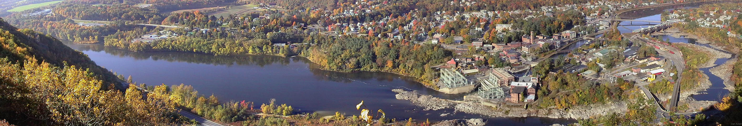
Here, where a river still carves its path in the base of a mountain, Vermonters of energy and vision have lived and worked for more than 200 years.
Bellows Falls derives its significance largely from its historical relationship to the Great Falls of the Connecticut River, the locus of various human activities through hundreds of years. Native Americans used the river for a main artery of travel and congregated at the Falls to catch migrating salmon and shad. Early white settlers followed suit and then developed overland transport routes that focused on the first bridge across the Connecticut River built here in 1785. To expedite the early river traffic, one of the first canals in the United States was opened in 1802 to bypass the Falls; that canal also provided water to power Bellows Falls' emerging industry.
When the railroads passed through the area circa 1850, they also focused on the river crossing, and Bellows Falls became one of the most important railroad junctions in northern New England. In the 1870's, the available water power attracted the establishment of paper mills that were among the first in the United States to use wood pulp--as opposed to rags--for raw material. By the turn of the [last] century, Bellows Falls had expanded into an important manufacturing center with a business district whose architectural character reflected its vigor and prosperity. Subsequently, the industrial activities have declined but Bellows Falls retains to an unusual extent the historic fabric of its earlier ascendancy, and recently has undertaken substantial efforts toward its preservation.
The Bellows Falls Downtown Historic District was entered in the National Register of Historic Places on August 16, 1982.
More information about Bellows Falls, Vermont is found at:
The Tour:
Walking Tour Map of Route and Sites
Also:
Notes on the view from Fall Mountain and Henry David Thoreau on Fall Mountain
 See
the Bellows Falls mural. Set it as your desktop background if you like.
See
the Bellows Falls mural. Set it as your desktop background if you like.
 More
desktop backgrounds of Bellows Falls scenes.
More
desktop backgrounds of Bellows Falls scenes.
 Video
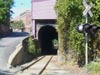
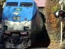
of the Amtrak Vermonter squeezing through the tunnel. (953 KB wmv Windows
MediaPlayer format)
Video
of the Amtrak Vermonter squeezing through the tunnel. (953 KB wmv Windows
MediaPlayer format)
The historic Old Arch Bridge is long gone, but you can visit it at the Banjo Dan Website
[The original Walking Tour brochure was produced about 1985 and funded with the assistance of a matching planning grant from the U.S. Dept. of the Interior, National Park Service, through the Vermont Division for Historic Preservation under Provisions of the National Historic Preservation Act of 1966, as amended. The original had black and white photos. I took many of these color photos on July 28, 1995 with a Logitech Fotoman Pixtura digital camera, a remnant of 20th century digital photography. The text, better-researched and more accurate than the original, is from the 1994 brochure edited by Richard Ewald. That brochure does not use the walking-tour format and also includes many private residences of architectural interest. I felt the downtown walking tour format translated best to the Web. The current brochure is available from the Great Falls Regional Chamber of Commerce. This website has no affiliation with any organized organization.]
Other Webbified Walking Tours (not updated recently).